A new permanent GNSS station at Dakar GLOSS tide gauge
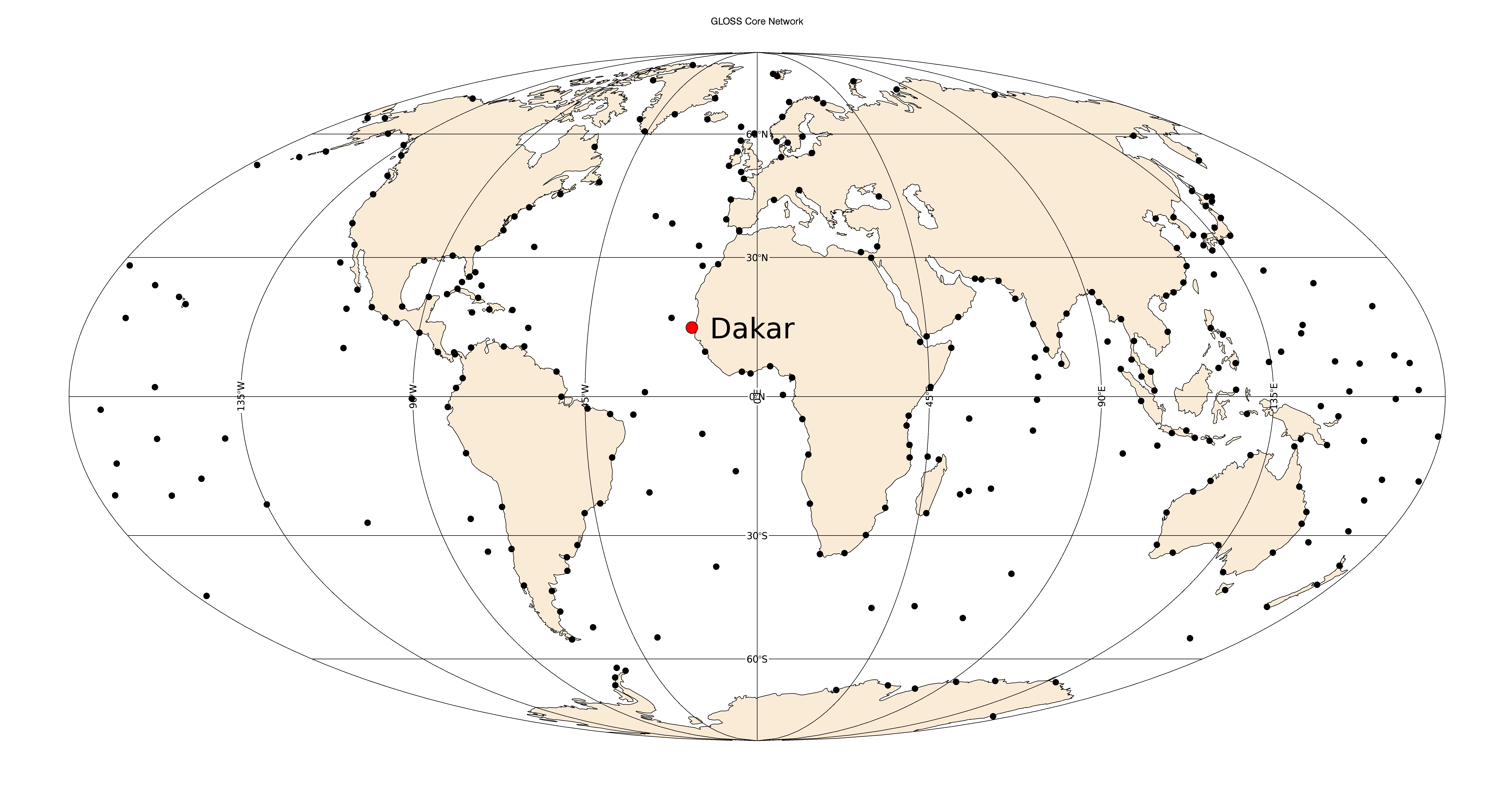
Dakar (Senegal) hosts one of the longest sea level records available in Africa with a multidecadal time series available at the Permanent Service for Mean Sea Level (PSMSL). The current tide gauge is operated by the University of Hawaii Sea Level centre (UHSLC) under the framework of the Global Sea Level Observing System (GLOSS) established by the Intergovernmental Oceanographic Commission (IOC) of UNESCO in 1985. Click on the left icon to display a map showing the GLOSS core network of stations, and the Dakar location within this network.
This station is locally maintained by the Lighthouses and Beacons Sub-Division of the Port Authority of Dakar. Despite the presence of permanent GNSS stations located in Dakar, these stations are distant from the tide gauge, and may not represent the vertical land motion actually experienced by the tide gauge, which is located inside one of the largest harbours in West Africa (Le Cozannet et al., 2013). See for instance the DAKA GNSS station, which in addition is decommissioned since 2007 and has discontinuities in the series, which are harmful for estimating an accurate trend. Hence, a geodetic GNSS station dedicated to monitoring the vertical land motion at the very tide gauge was highly desirable following the guidelines of the last GLOSS programme implementation plan.
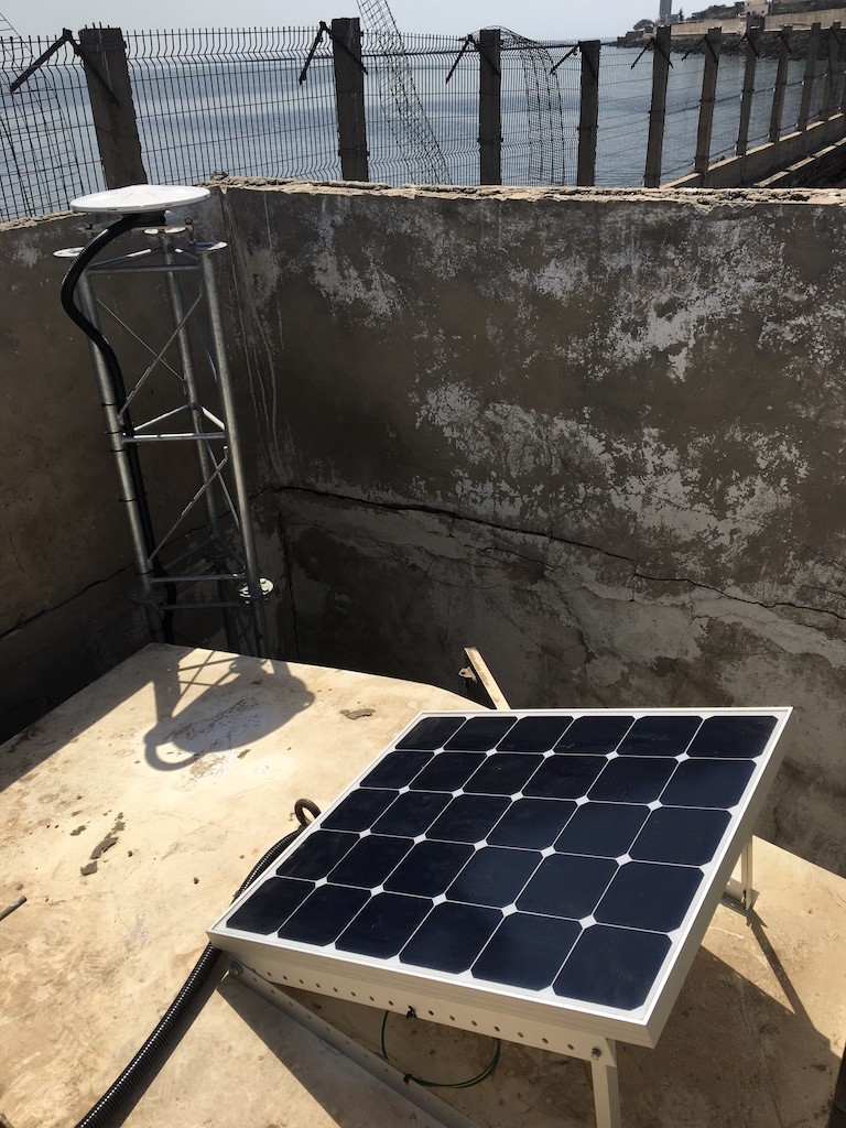
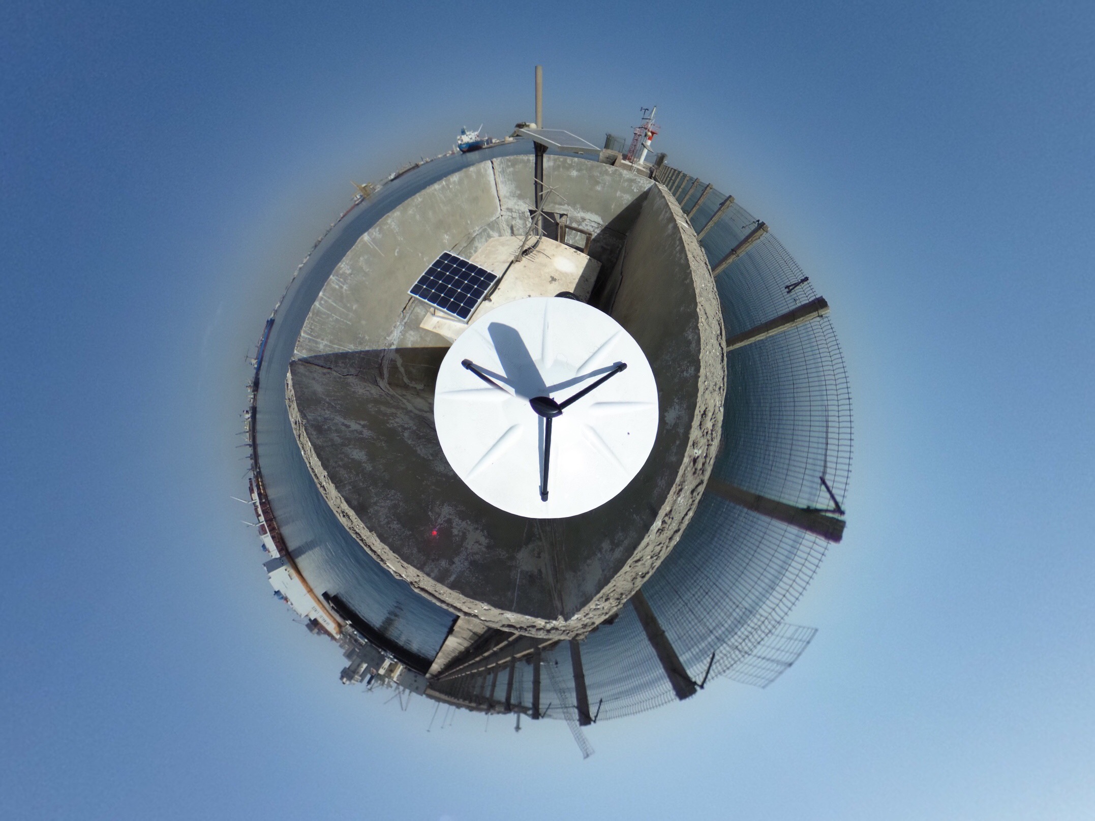
In early November 2017 a France-Senegalese team composed by SONEL partners and ANAT (Agence nationale de l’Aménagement du Territoire) installed a new permanent GNSS station at the very top of the GLOSS tide gauge. A precise levelling was performed to link the GNSS antenna to the tide gauge benchmarks. The Trimble Zephyr Geodetic antenna lies on top of a 3 meters galvanized steel mast anchored in the concrete wharf near the tide gauge hut (Click on the icons to enlarge) within a meter distance from the radar sensor at the Southern jetty of the Dakar commercial harbour.
This GNSS station is autonomous and powered by a solar panel. The measurements from the Trimble NetR9 GNSS receiver are transmitted as daily RINEX files with a sampling rate of 30s through the 4G local network. This new station is operated by the Senegalese “Direction des Travaux Géographiques et Cartographiques” (DTGC) and its data are public and freely available in accordance with the Oceanographic Data Exchange Policy of the Intergovernmental Oceanographic Commission of UNESCO at the SONEL website.
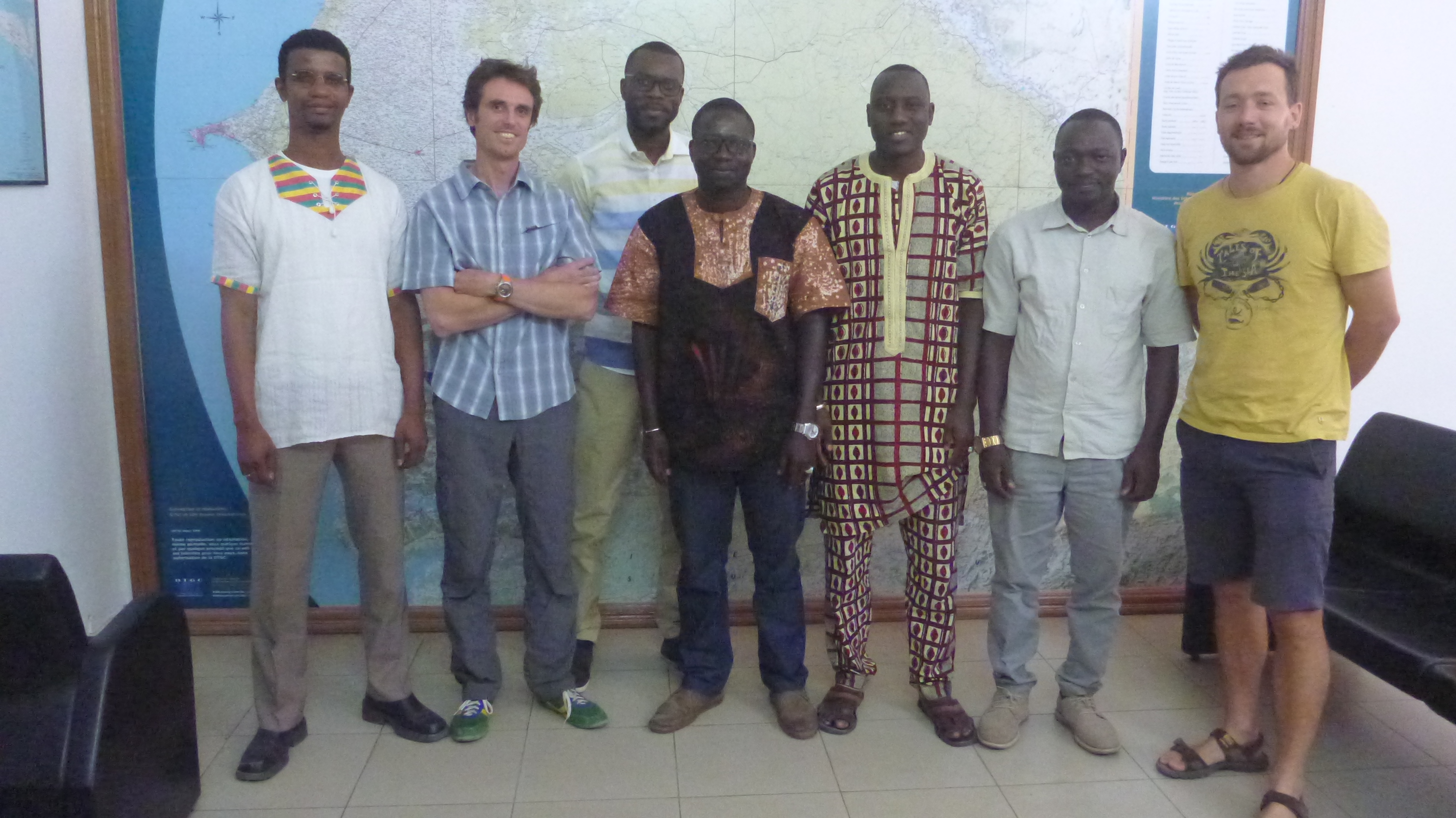
The picture on the right shows the actors of this installation (from left to right) : Oumar H. Ka (Director of DTGC/ANAT), Thomas Donal (Surveyor IGN), Abdoukarim Mbengue (IT DTGC/ANAT), Ibrahima Ndiaye (Chief Surveyor DTGC/ANAT), Dr. Issa Sakho (Assistant Professor University of Thiès), Madiabe Diouf (GIS responsible DTGC/ANAT), Etienne Poirier (Engineer LIENSs - Université de La Rochelle).
Useful References:
– Link to the SONEL webpage of this GNSS station (DATG), where further details and data can be found.
– Le Cozannet G., Raucoules D., Wöppelmann G., Garcin M., Da Sylva S., Meyssignac B., Gravelle M., Lavigne F. (2015). Vertical ground motion and historical sea-level records in Dakar (Senegal). Environnmental Research Letters, 10, doi:10.1088/1748-9326/10/8/084016.
Contact :


